World Map Jigsaw Puzzles
These free map puzzles are drawn from real geographic data and NASA satellite images. No names or borders are printed on the maps, so the coastlines and colors are the only clues.
All world map puzzles
Where to start
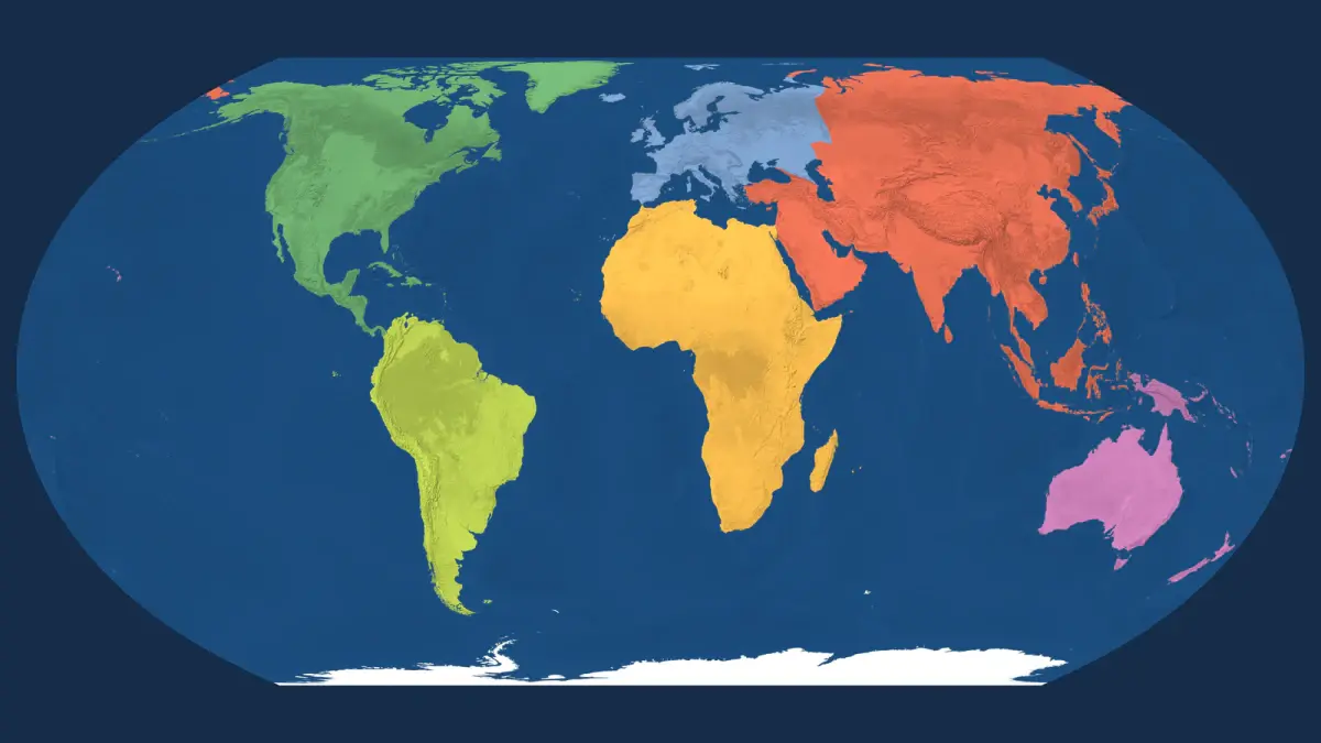
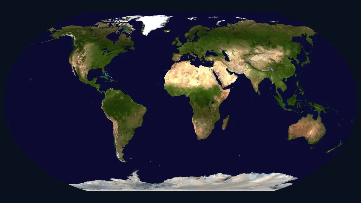
The easiest place to begin is the World Map of the Seven Continents. Its bright colors make it a good first world map puzzle for children. The Blue Marble Satellite Map shows the Earth the way NASA's satellites saw it, down to the turquoise shallows around the Bahamas.
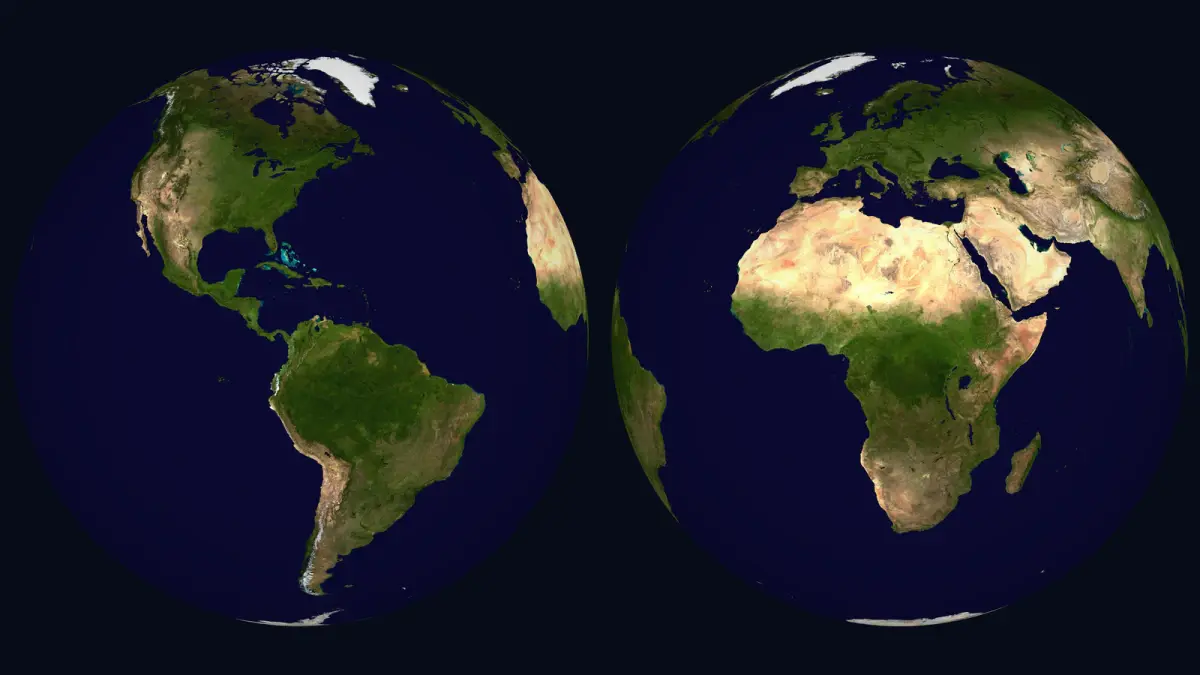
For a globe puzzle, try Two Hemispheres of the Earth. It wraps the same satellite colors around two globes, one for the Americas and one for Africa, Europe and western Asia.
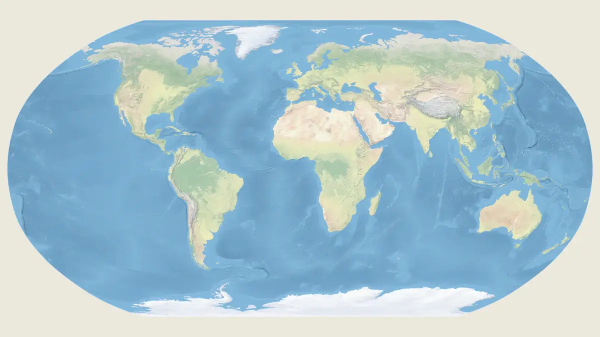
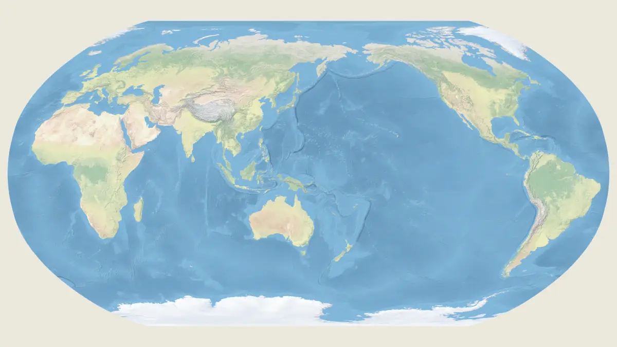
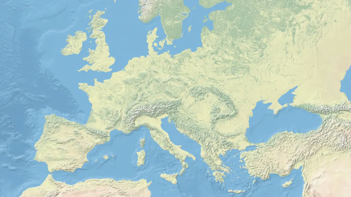
If you like detail, the Physical World Map with the Ocean Floor colors the land by height and shows the ridges and trenches under the sea. The World Map Centered on the Pacific turns the usual view around and puts the largest ocean in the middle. Anyone looking for a Europe map puzzle can go straight to the Physical Map of Europe, where the Alps and the long curve of the Carpathians stand out in relief.
Why no two world maps look alike
The Earth is round and a map is flat, so every world map has to bend the truth somewhere. Peel an orange and try to press the skin flat to see the problem. A projection is the mapmaker's choice of what to keep true and what to give up.
Gerardus Mercator made his famous map in 1569 for sailors. It keeps compass directions true, but it swells everything near the poles, which is why Greenland looks as big as Africa on it.
The maps on this page make different trades. The continents map uses Equal Earth, a 2018 projection that keeps every area true. On the satellite map and both physical world maps, the Robinson projection gives up a little of everything so the whole world looks balanced. The globes show the Earth as it would look from far out in space. Like the continents map, the Europe map shows every area at its true size.
The quickest way to see the difference is to put the maps side by side. Look at how the shape of Greenland changes from one to the next, or how far apart Alaska and Siberia sit.
Putting a map puzzle together
A few habits help with any map puzzle. Build the land before the ocean, since the coastlines are the easiest shapes to recognize. Then fill the sea from the coast outward, matching each piece to the shore it touches. The satellite maps have the plainest water, while the physical maps put texture into the ocean floor and give you more to go on.
A world map jigsaw puzzle also works well with company. Open one in a room and send the link, and a family or a class can build it together from separate devices. For a closer look at the United States, the USA map jigsaw puzzle page shows every state in place. If old paper maps are more your style, try Antique Maps and Brass Compass.